SERVICES
Helping you understand your projects so you can make critical decisions based on the unique needs of the job site.
See our services below. Can’t find what you’re looking for? Reach out to ask us about additional offerings.

Mapping, Scanning and Topographical Surveys
-
Earthwork volume monitoring is the process of accurately measuring and tracking the movement of soil, bedrock, and materials on a construction site to ensure that excavation, filling, and grading activities align with project specifications and progress, helping to manage costs and schedules effectively.
-
High-resolution orthomosaics are detailed aerial or satellite images created by stitching together multiple photographs of the Earth's surface, often with pixel-level precision, providing a comprehensive and geometrically accurate view of the area.
-
Georeferenced point clouds are sets of 3D data points collected from real-world locations and precisely aligned to geographic coordinates, enabling accurate spatial representation of physical objects, terrain, or structures for applications in fields like surveying, mapping, and 3D modeling.
-
Bare earth surfaces refer to the natural or terrain ground conditions devoid of any vegetation, buildings, or man-made structures, typically used in geospatial analysis and surveying for accurate representation of the Earth's topography.
-
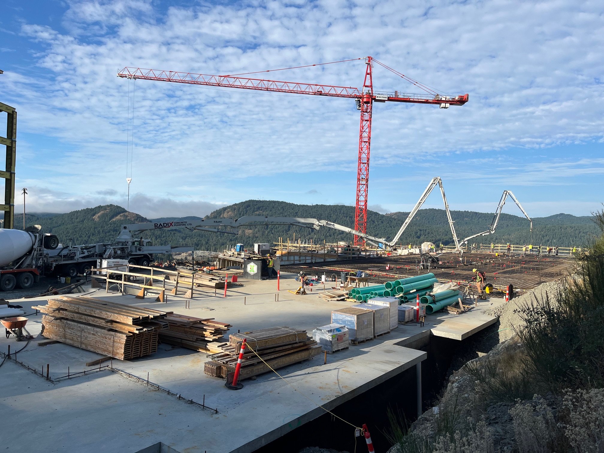
As-built surveys are detailed and accurate measurements or documentation of a construction project's final, built condition, used to compare the actual construction against the original design plans and ensure compliance with specifications and regulations.
Construction Layout
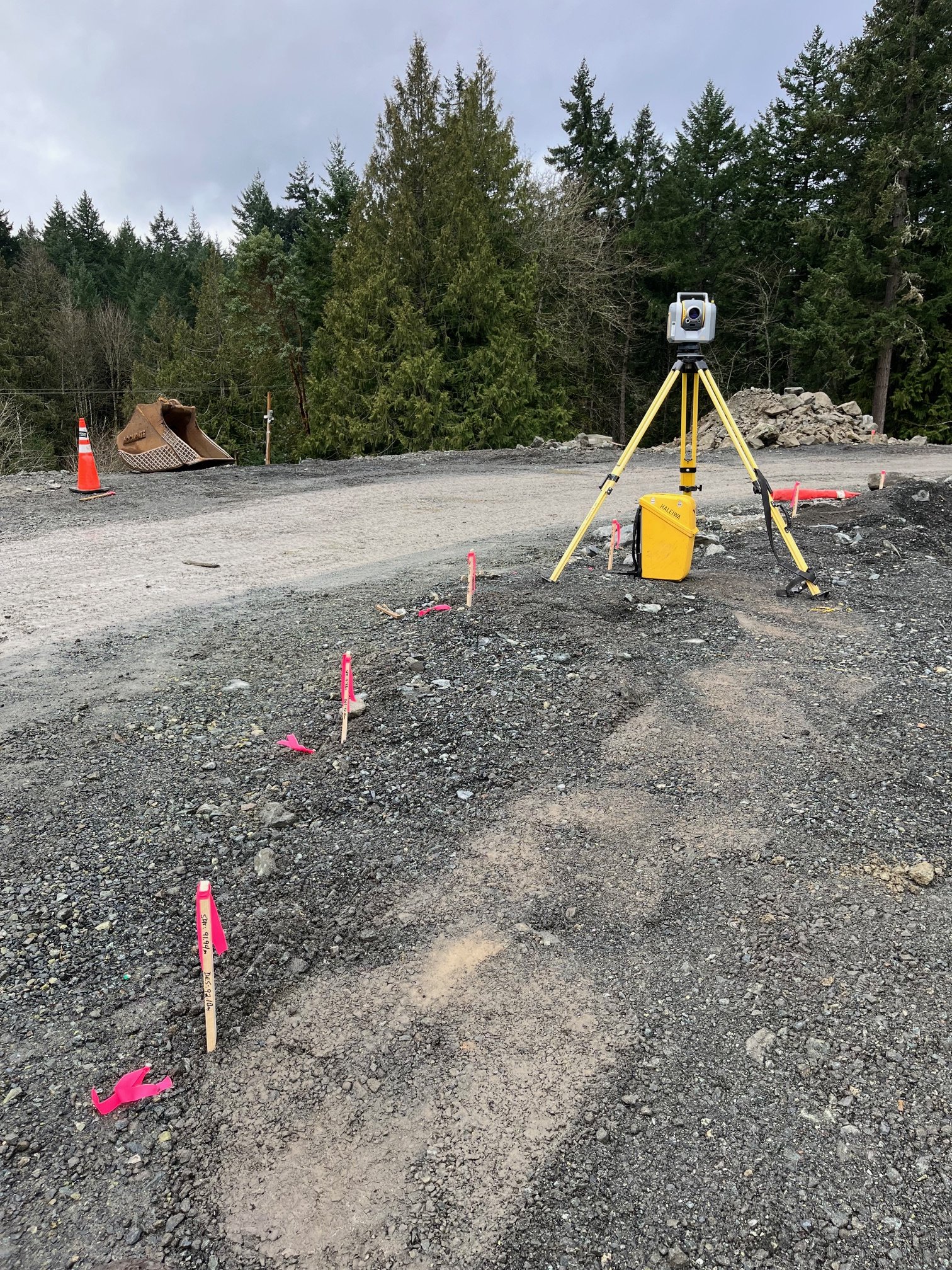
Building Layout
Construction Limits
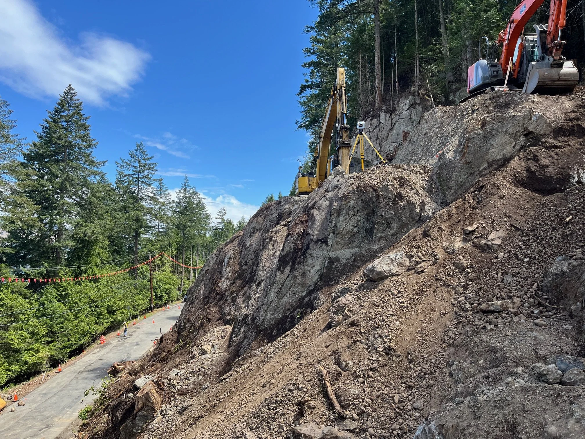
Slope Staking
Blasting Layout
Site Grading
Underground Utilities
Curb and Gutter
Technical Drafting
Grading Plans
Layout Markups
Cut / Fill Drawings
Contour Drawings
Earthwork Quantities
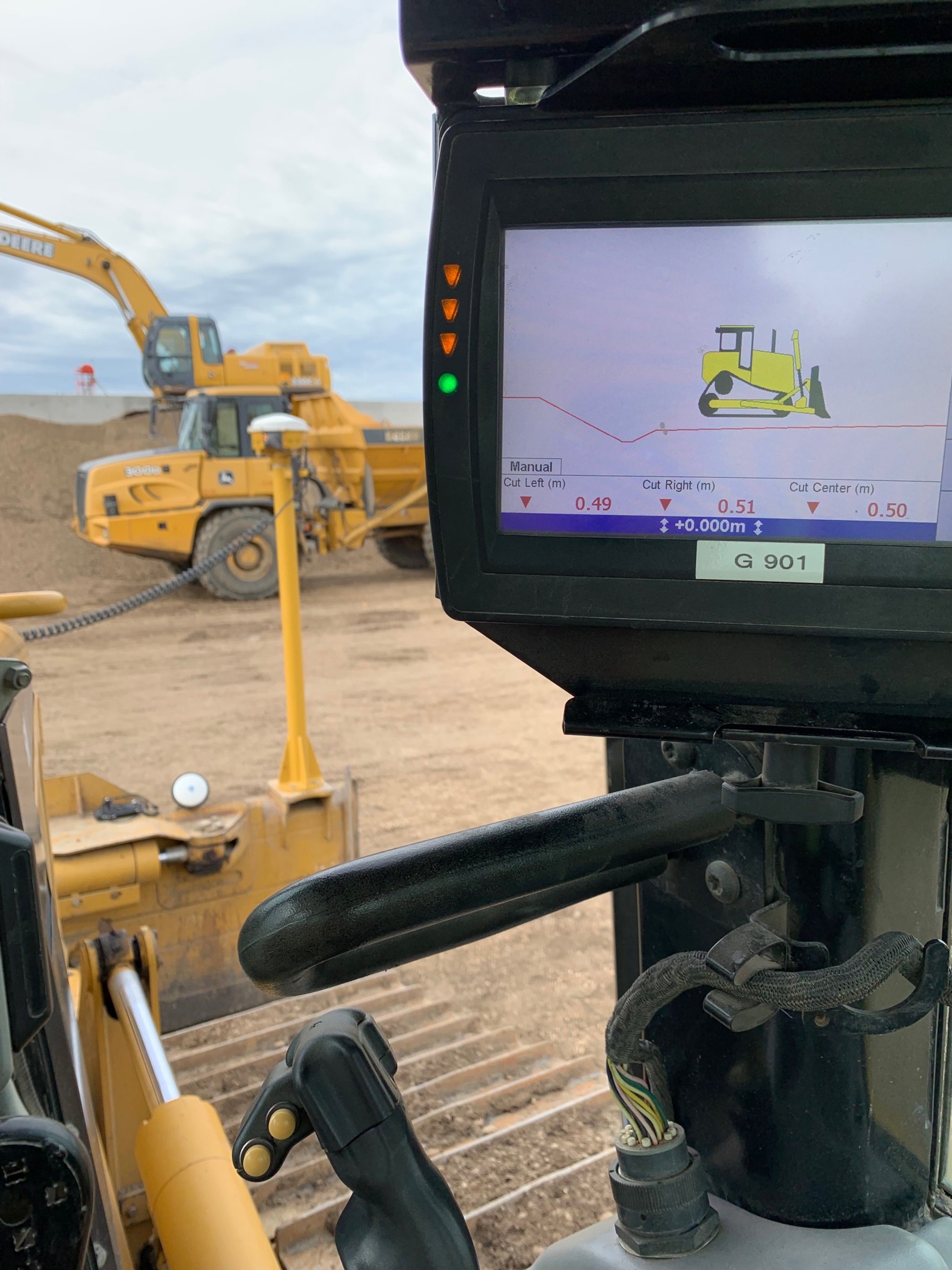
Machine Control Guidance
Grade Control Support
3D Data Preparation
Machine Files
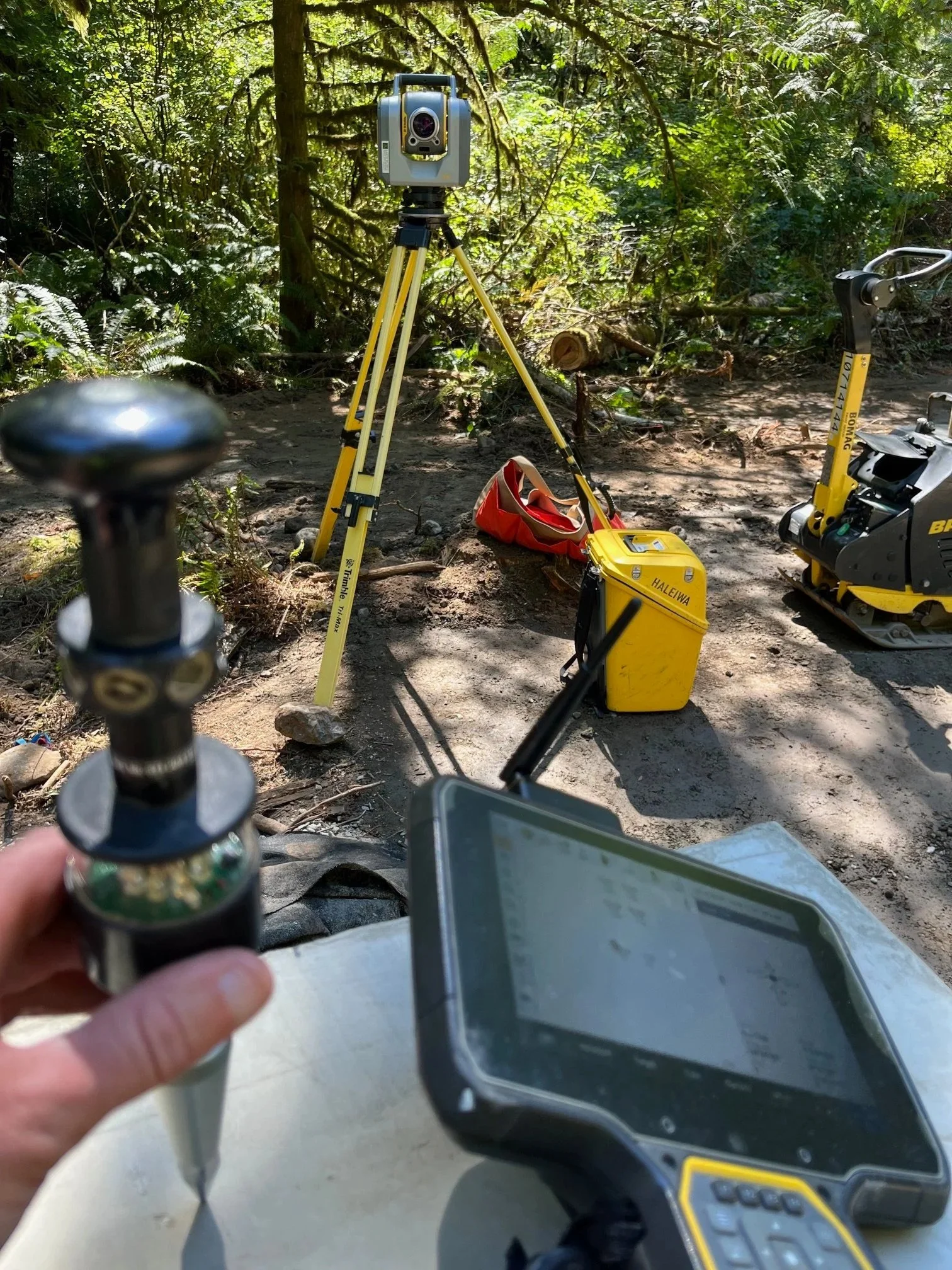
Site Calibration
Control Establishment
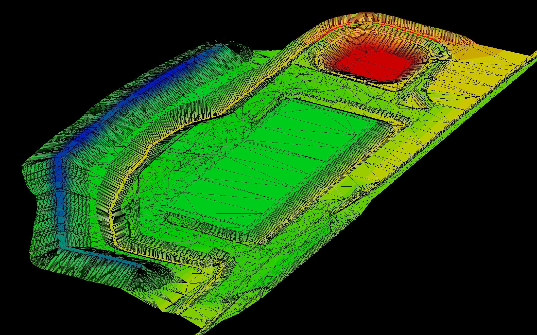
Bare Earth Surface of landfill. Horizontal and vertical absolute precision less than 2.5cm. Can quickly capture small areas (less than 1 acre) and sites up to and over 500 acres.